Open to everyone · no sign-in to read
The Community Feed
Precision agriculture findings, agritech notebooks, open datasets and crop traceability passports, published by farmers, agronomists, drone pilots, researchers and data scientists using Agririgo across Zambia and the wider continent. Anyone can read; signing in only to rate or comment.
Modelling uncertainty in vegetation stress screening for smallholder maize
Agririgo's honest confidence labelling (official, compiled, model-estimate) is rare enough in agricultural AI that it deserves attention on its own. Working through how their Drought Risk Index propagates uncertainty from patchy rainfall stations, useful reading for anyone building AI trust into agriculture tools rather than presenting single point estimates as fact.
Amara Desta · Researcher
How a QR passport helped us trace a cocoa shipment from farm to port
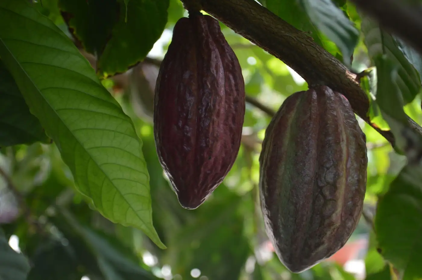
Buyers keep asking for proof of origin, not just a certificate. Generated a RigoTrace crop passport for a cocoa lot out of the Kumasi area, origin, inputs, harvest date and pack details all on one scannable QR. Crop traceability shouldn't need enterprise software; this took about ten minutes on a laptop.
Kwabena Owusu · Drone pilot
Publishing a labelled maize stress dataset for open agricultural AI research
Sharing a 220-image labelled dataset (healthy canopy, water stress, pest pressure) collected across three Kaduna-area farms and annotated in Rigo Studio, exported as COCO JSON. Open datasets are the bottleneck for agricultural machine learning in West Africa; hoping this is useful to anyone training crop-condition models for Nigerian smallholder contexts.
Ifeoma Okafor · Data scientist
Cross-checking canopy stress against extension recommendations in the Rift Valley
Tried Agririgo on three client farms near Nakuru to see how a Zambian-built precision agriculture tool would translate to Kenyan conditions. The RGSI overlay picked up the same stress patterns our extension officers were already flagging on foot, just days earlier and over a much larger area. Encouraging sign for agritech adoption across East Africa, not only Southern Africa.
Wanjiru Kamau · Agronomist
Learning vegetation indices with Rigo Studio for my final year project
Final-year agricultural engineering project on low-cost precision farming tools for smallholders. Rigo Studio's Analysis Notebook let me actually see how VARI and excess-green indices are computed, cell by cell, instead of treating vegetation index software as a black box. If you are a student anywhere in Africa looking to learn computer vision for agriculture without buying a GPU, this is the easiest on-ramp I have found.
Chisomo Zulu · Student
What decades of maize yield data tell us about the next drought
Pulled Agririgo's open production and drought datasets going back to 2000 to look at yield volatility around El Nino years. The pattern is stark: without earlier warning and faster on-the-ground response, Zambia keeps re-learning the same lesson every major dry cycle. This is why open agricultural data and climate-resilient agriculture research need to sit in the same place, not scattered across a dozen PDFs.
Natasha Mulenga · Researcher
One flight, forty hectares: mapping drought risk before planting decisions
Client wanted a pre-planting risk map for a forty-hectare block outside Mumbwa. A single drone pass, stitched and processed through Rigo Studio's RGSI engine, gave a clear picture of which zones were still carrying moisture stress from the prior dry spell. Drone crop scouting is finally affordable enough for mid-size Zambian farms, not just commercial estates, once the analysis itself is free and runs on ordinary imagery.
Given Phiri · Drone pilot
Building a COCO-format training set from smallholder drone photos
Used the Analysis Notebook's zonal segmentation and export cells to turn 40 raw drone photos from three cooperatives into a clean COCO-format dataset, labels, bounding boxes and vegetation stats included. Machine learning for African agriculture keeps stalling on the data-preparation step; running it entirely in the browser on WebAssembly meant I never had to upload a single image to train on.
Mapalo Chileshe · Data scientist
Comparing RGSI stress maps against soil moisture probes across six fields
Over the last cropping season I ran Agririgo's RGSI vegetation index alongside capacitance soil moisture probes on six client fields around Mkushi. Agreement was strongest in the mid-vegetative stage, exactly when a precision agriculture tool needs to earn its keep. Publishing this so other agronomists evaluating agritech data platforms in Zambia have an independent data point rather than marketing claims alone.
Kunda Banda · Agronomist
Spotting water stress two weeks before it showed to the eye
I flew my phone over the north block in Chibombo and ran it through Rigo Studio's vegetation stress overlay. The RGSI map flagged a dry patch along the old furrow line well before the leaves started curling. This is exactly the kind of precision farming decision support smallholders in Zambia have been missing, catching drought stress from ordinary RGB imagery, no expensive multispectral camera needed. Adjusted irrigation on that block and the difference by harvest was obvious.
Thandiwe Mwansa · Farmer