Rigo Studio
The workspace for understanding
what's happening on a farm.
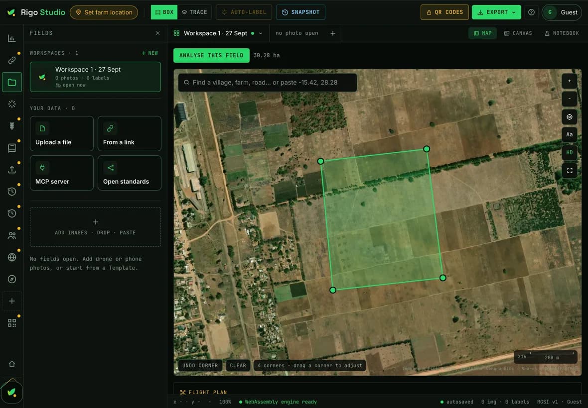
Map fields, analyse imagery, explore satellite data, label observations, manage farm data, use Rigo AI and build records that persist.
 Rigo AI water management
No credit card. Full access to Rigo Studio. Mac, Windows and Web.
Try it free. Create an account for full access. Your imagery stays on your device.

Built on
Open models and open data, so what we compute can be checked rather than taken on trust.



Satellite, soil and climate data from Sentinel-2, SoilGrids and Open-Meteo.
Inside Rigo Studio
One workspace. Every layer of the farm.
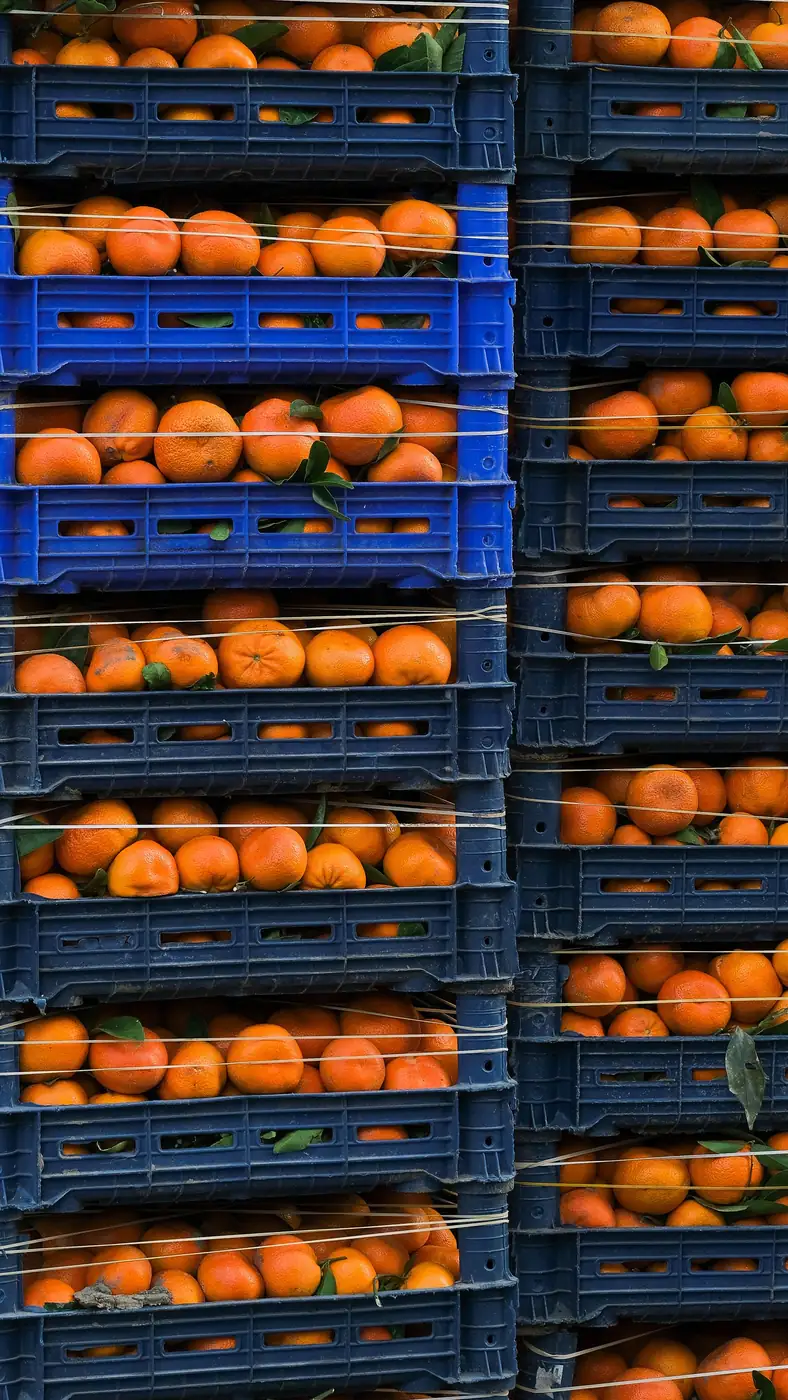
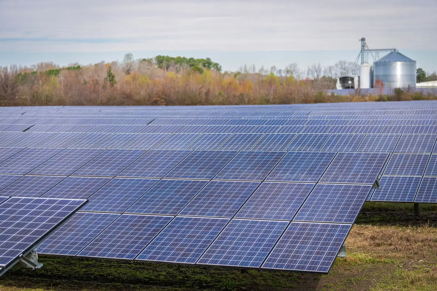
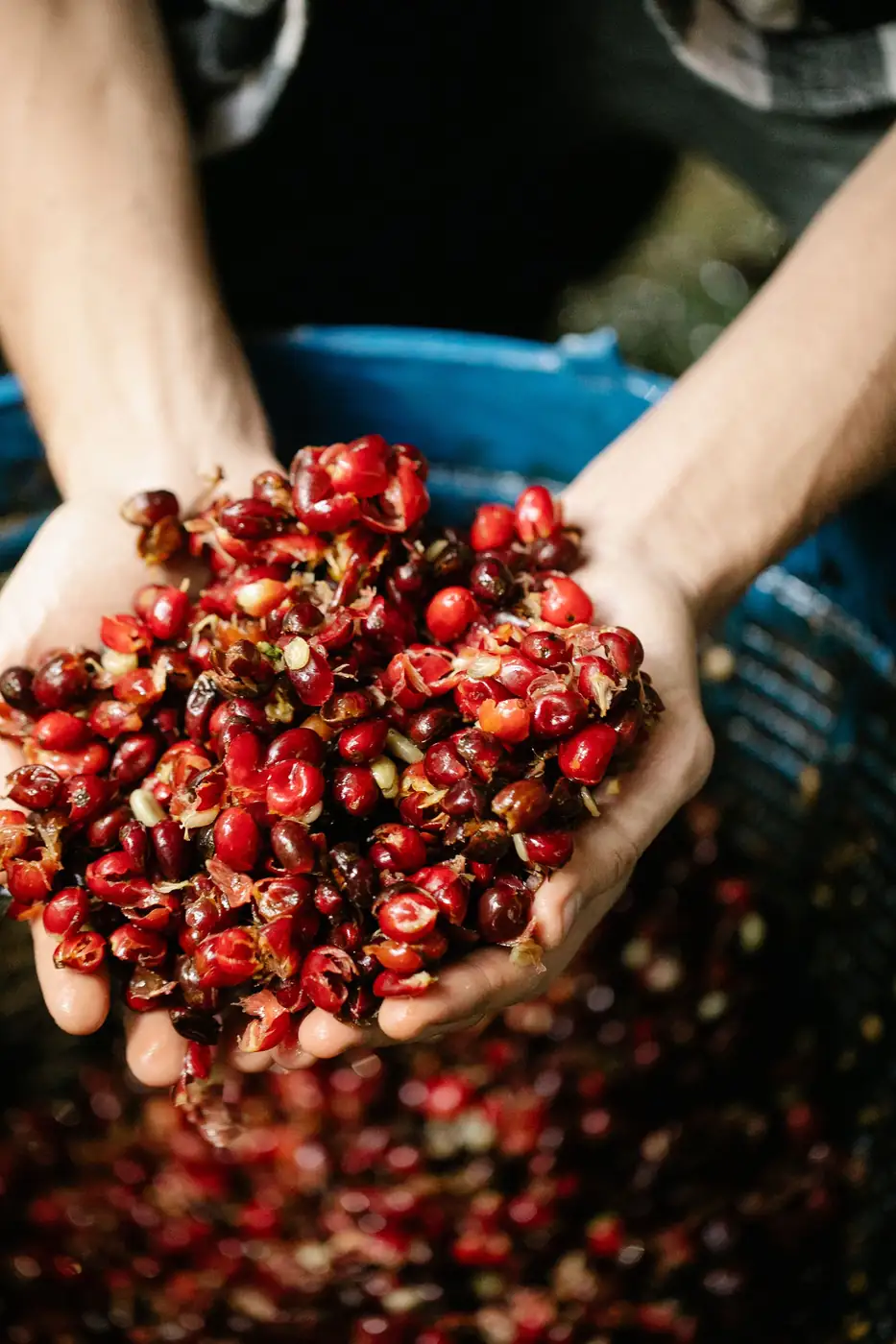
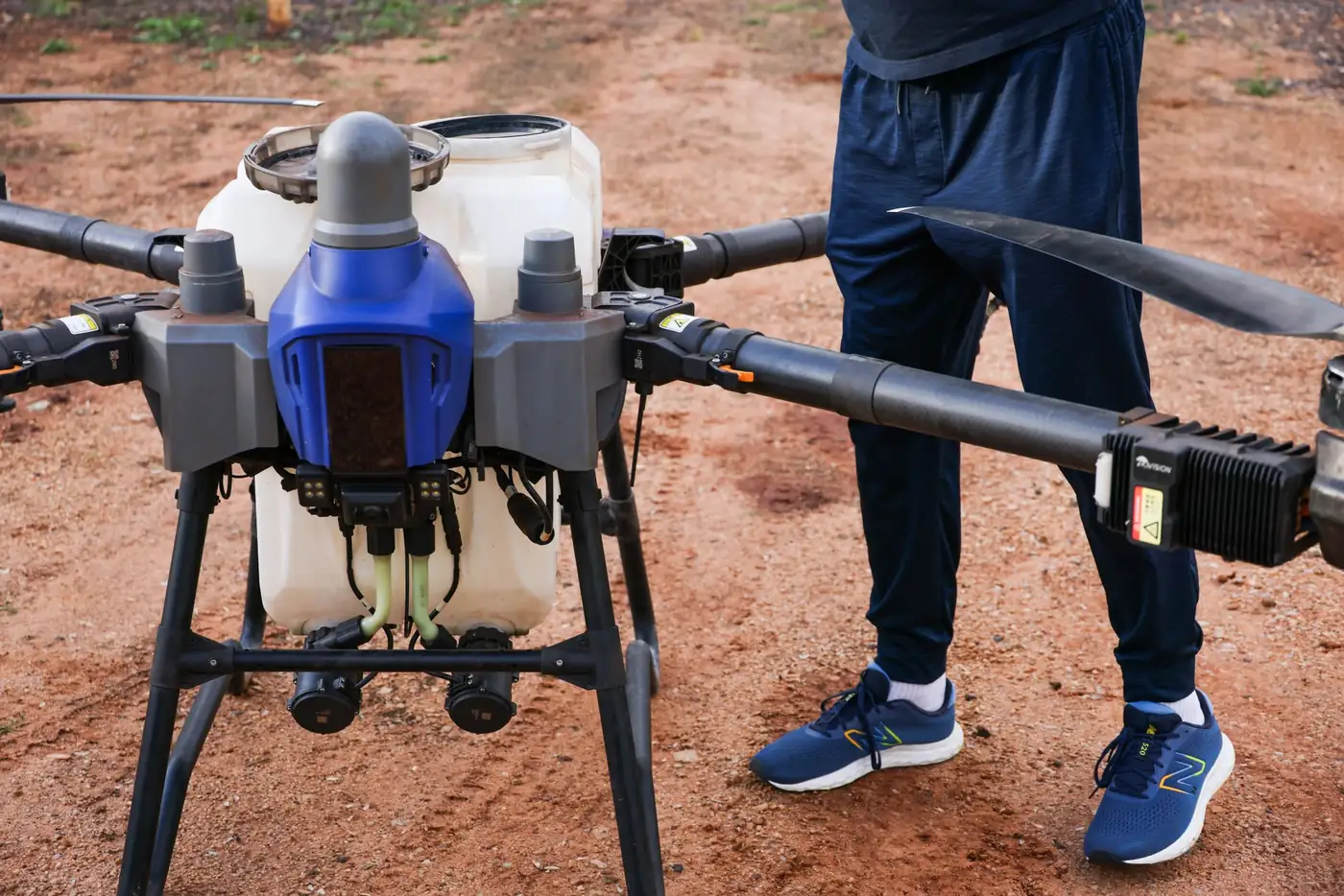
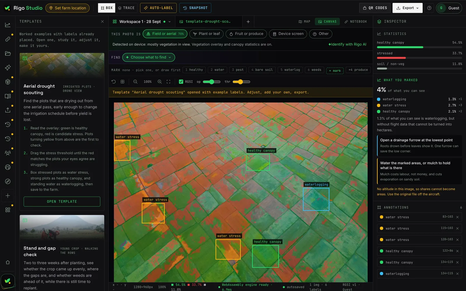
Mapping, satellite data, computer vision, observations, datasets, farm records, assets, livestock, Rigo AI, drone workflows and traceability, in one place. Point at any tile to see the real scene behind the data.
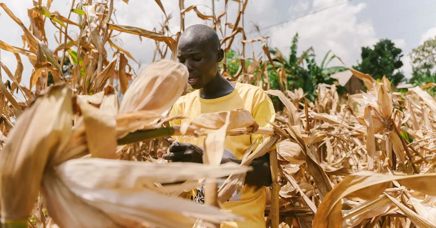
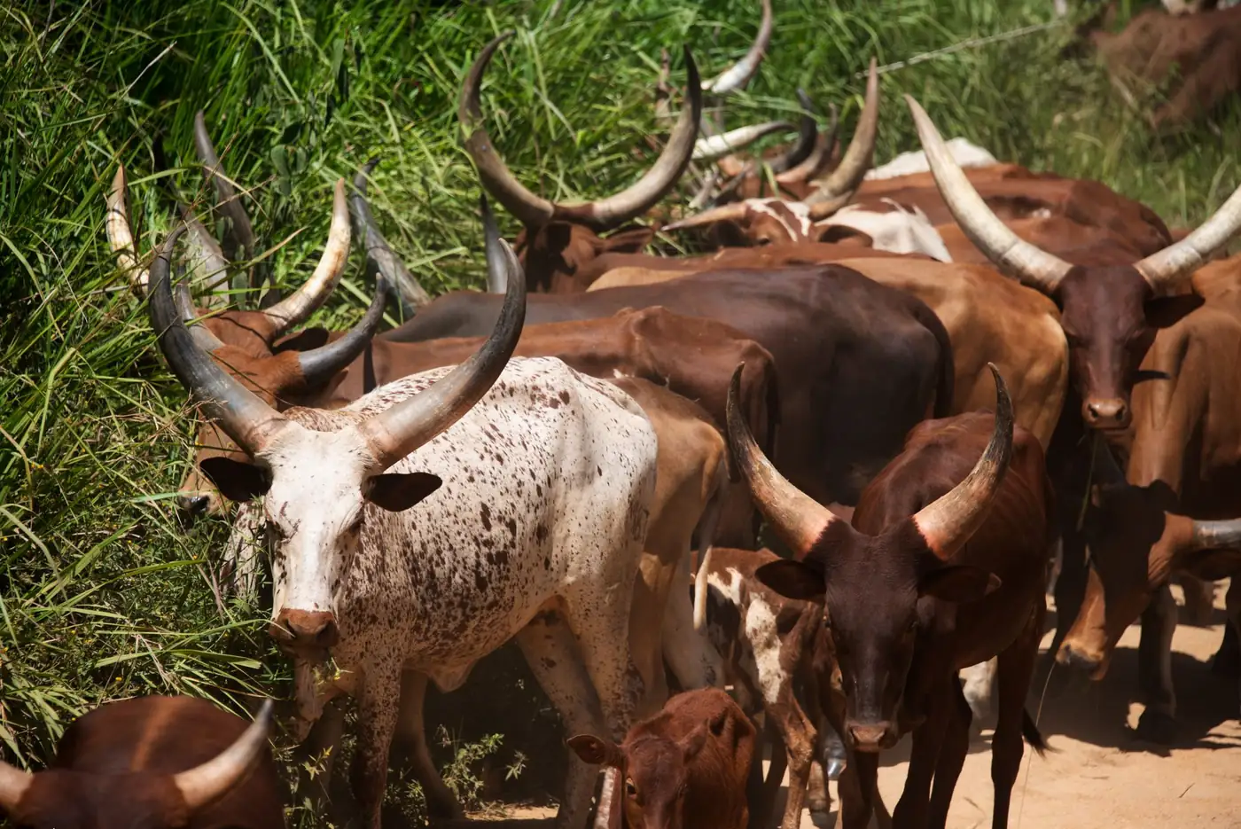
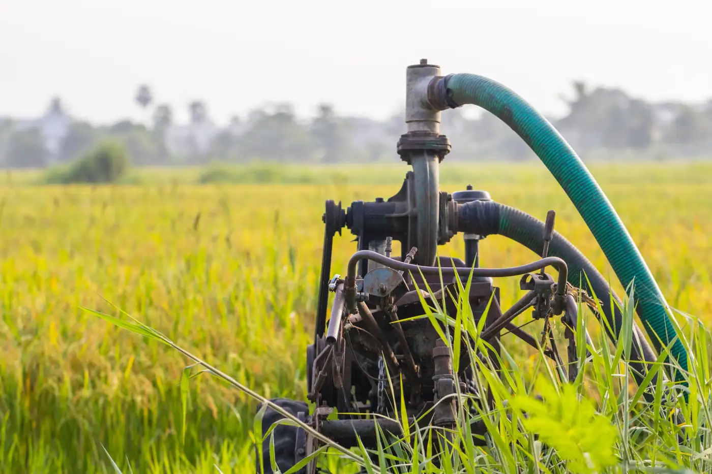
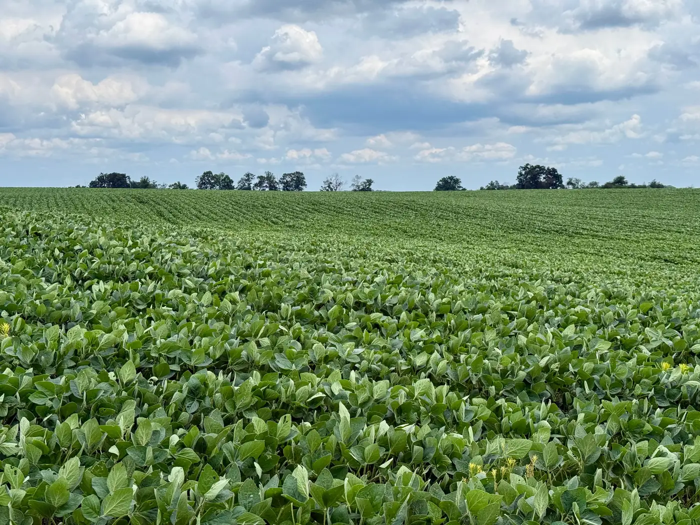
Rigo Studio runs on the web, on Mac and on Windows.
Free to use · No credit card · Full access
 NewRigo AI, a separate product from Agririgo
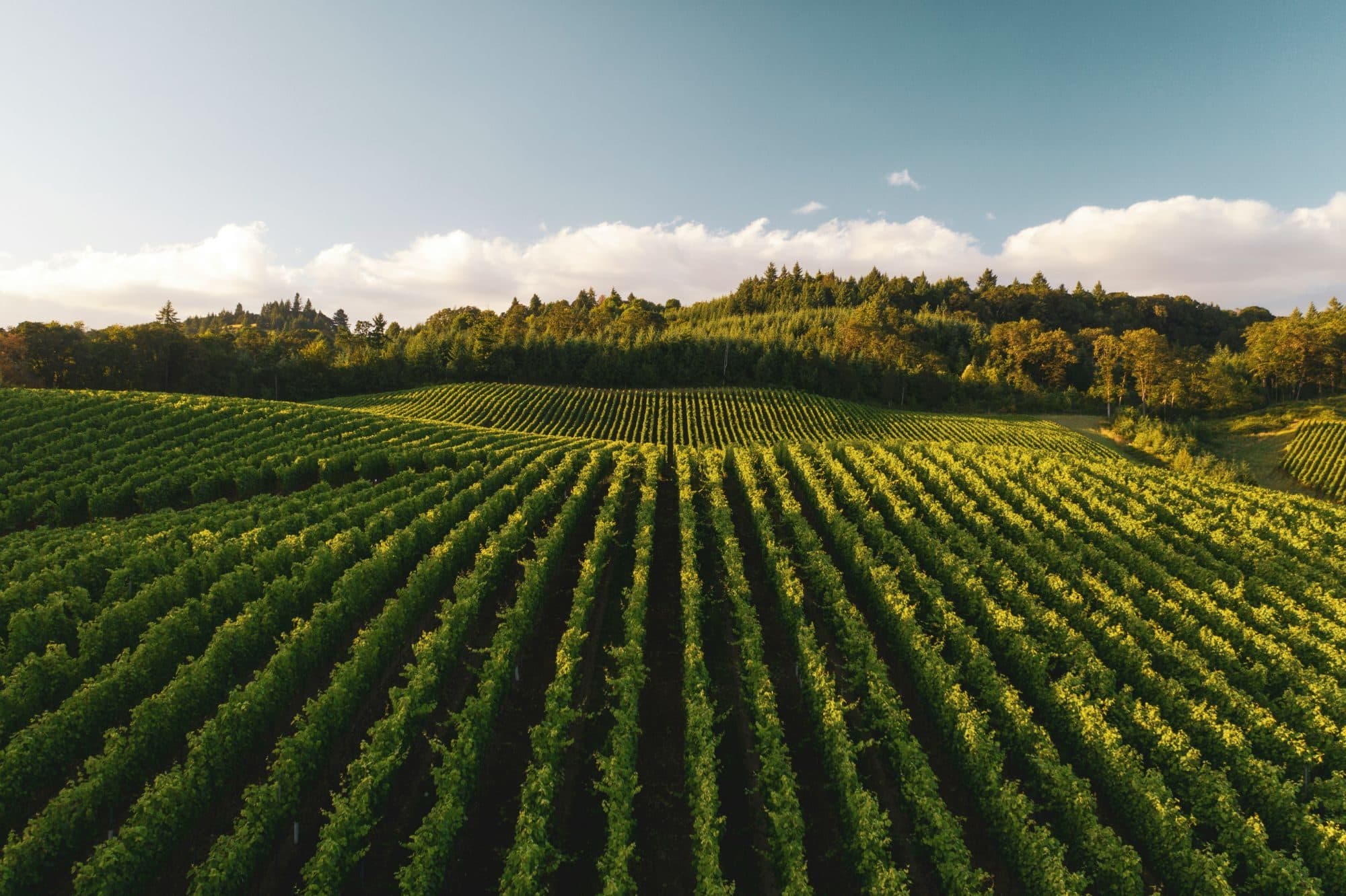
Make every cubic metre count
on your vineyard.
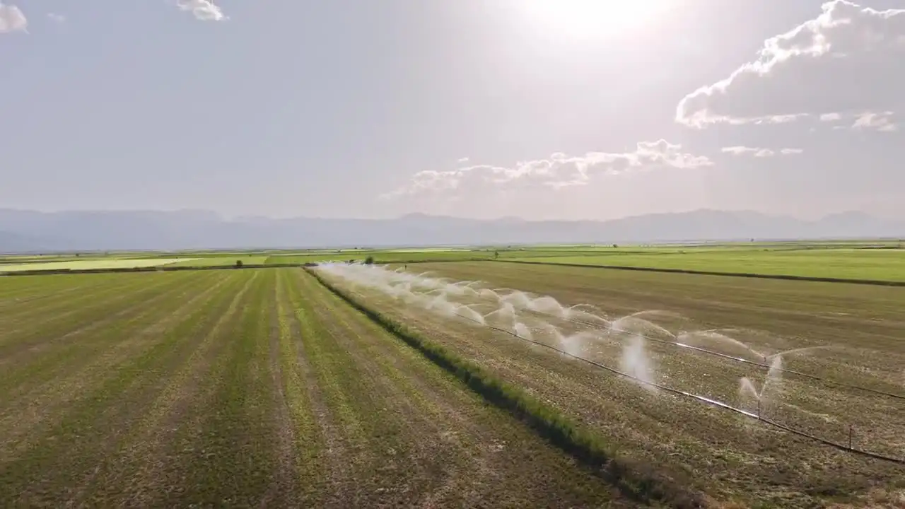
Your quota, your dam and your pump hours are set. What you control is where the water goes. Rigo AI tells vineyard managers on irrigated wine farms which blocks need water first, every morning, so a hot week or a scheme cut does not cost you the season.
- 01
Which blocks need water first
Every morning, your blocks ranked by need, so the water you have goes where it protects the most fruit.
- 02
The reason, the cost in m³, and how sure it is
Each call shows why, how many cubic metres it takes and how confident the model is. You stay in charge of the valve.
- 03
Delivered on WhatsApp
No new app and no dashboard to check. It reads the records you already keep and arrives before you head out.
rigo.agririgo.com · Powered by Agririgo
Rigo Studio
One photograph. Real hectares. A record your buyer can check.
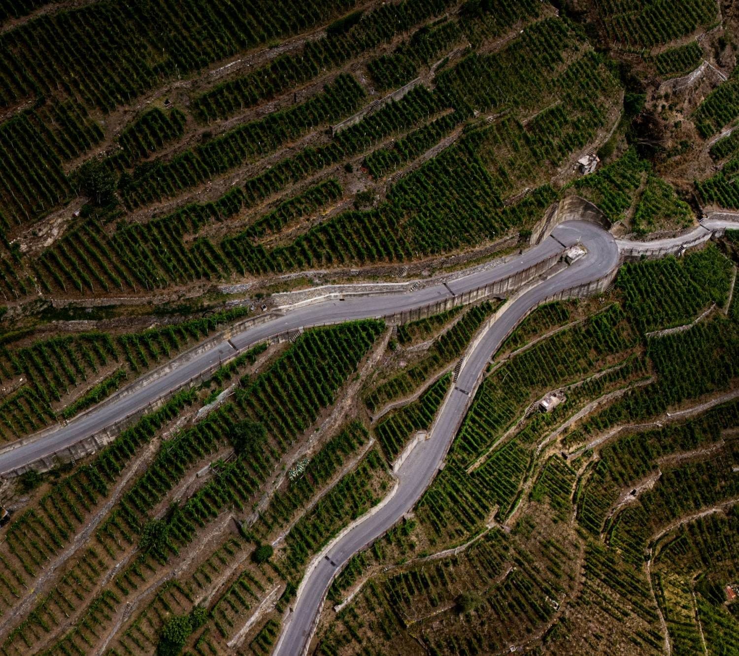
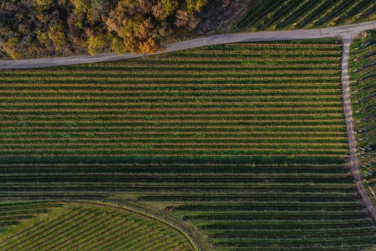
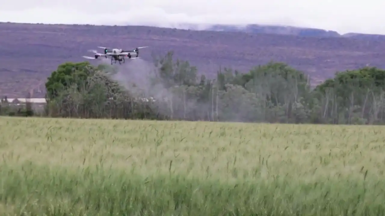
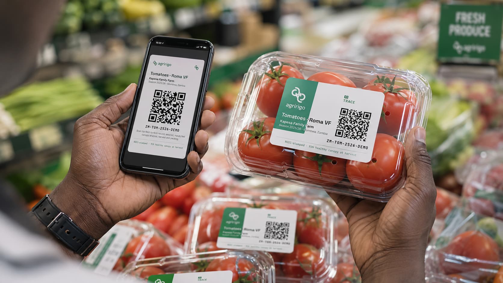
Rigo Studio reads the altitude your drone already wrote into the file, so a traced weed patch comes back as square metres and a count becomes plants per hectare. Rigo AI names what it sees, your corrections train a detector your aircraft can carry, and the finding follows the crop all the way to the QR code on the bag.
It runs on your device. Nothing uploads, nothing queues, and there is no flight to plan first.
Free to use · No credit card · Full access
Drone pilots and service providers
You can already fly. This is the part clients actually pay for.
- Real areas from one photo, using the altitude DJI writes into every JPEG
- Stand density per hectare without stitching an orthomosaic
- A client report instead of a folder of JPEGs
- Export a training set so your drone learns to spot it in flight
Agronomists and co-op officers
Evidence you can put in front of a member or a buyer.
- Trace regions to get hectares affected, not a vague impression
- Every finding carries the evidence that produced it, so you can disagree
- Findings and areas export as data, not a screenshot
Researchers and students
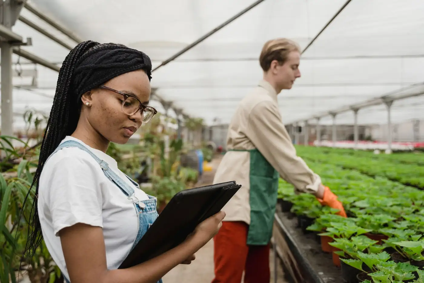
A labelling workstation that costs nothing and locks nothing in.
- COCO export with segmentation, readable by every training toolchain
- The vegetation index runs on your device, so no upload and no queue
- Publish to the community repository so others can build on it
Exporters and processors
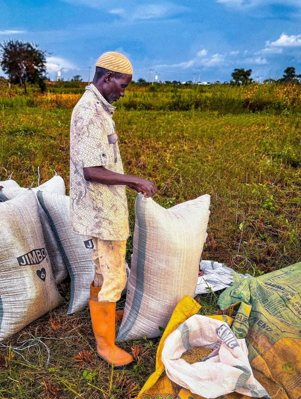
Connect what you saw in the field to what you ship.
- Attach field evidence to the Crop Passport a buyer scans
- Per-farmer attribution survives into pooled lots
- Weak claims stay visibly weak rather than being dressed up
A different question
Survey platforms answer what does my whole farm look like, and that needs a planned flight, an hour of processing and a subscription. Studio answers what is wrong in front of me, how much of it there is, and can I prove it to my buyer. Different job, different tool.
| What you need | Enterprise platforms | Rigo Studio |
|---|---|---|
| Answer a question today | Plan a flight, fly a grid, wait for processing | Photograph it. Area comes from the altitude in the file |
| Help a farmer with no drone | The aircraft is the product | A phone photo is a valid input |
| Prove it to the buyer | Ends at a report for the grower | Crop Passport, QR on the bag, EUDR evidence pack |
| Work where you farm | Selected countries and regions | Built for the markets they left out |
| Keep what you label | Your annotations stay in their platform | COCO and DJI bundles you download and own |
| Put AI on your own aircraft | Their models, their cloud | Train a detector your DJI carries onboard |
What this is really for: the two hectares behind the house, the maize that came up thin on one side, the mangoes going soft in the crate before the buyer arrives. Walk out, photograph the part that worries you, and know before you spend money on it.
Free to use · No credit card · Full access
For the curious
You don't have to be in agriculture to explore Rigo Studio.
- Computer vision
- Geospatial data
- AI
- Satellite imagery
- Real-world data
Use Rigo Studio to explore, analyse, label and understand real-world agricultural data. Create a free account and start exploring.
Free to use · No credit card · Full access
From the conversation on LinkedIn
What enterprise and AI leaders are saying
“The RigoTrace digital crop passport sounds like a significant step towards transparency in agriculture. How do you ensure data security with the QR codes?”
“Transforming data into trusted decisions is essential for improving agriculture's effectiveness. Agririgo seems to tackle this challenge directly.”
“It's striking that over 60% of Africa's workforce is tied to agriculture, highlighting the urgency for tech solutions like yours.”
“The RigoTrace Digital Crop Passport is a smart solution that should significantly enhance traceability for farmers.”
“It's frustrating how many brands overlook the importance of maintaining their QR code links. A dead website directly undermines customer trust.”
“Seeing QR codes unavailable shows a clear opportunity for innovation. RigoTrace can really address these gaps in product traceability.”
“Excited to have created my Agririgo account! It's great to see AI, QR codes, blockchain, and Digital Product Passports driving transparency in African agriculture. If you haven't already, sign up and explore the platform!”
“The issue with QR codes leading to dead links is a missed opportunity for brands. A living Digital Crop Passport could change that experience entirely.”
“A dead website after scanning a QR code directly undermines customer trust. RigoTrace's approach to creating a digital passport is an innovative way to enhance transparency.”
Agririgo · The intelligence layer for African agriculture
A living digital twin of the farm.
Agririgo connects every source a farm already has into one structure, where the things on the farm are objects with state and history. Rigo AI reads that structure and returns ranked actions, running on the farm's own machine, with consent.
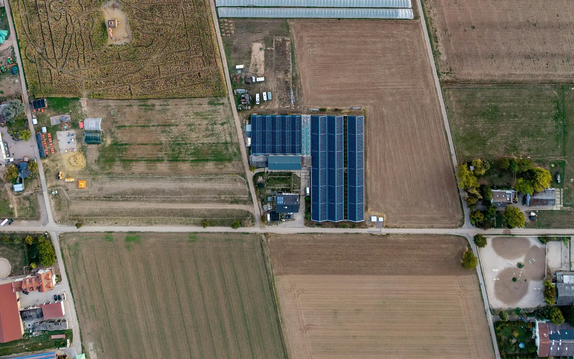
Every asset becomes an object
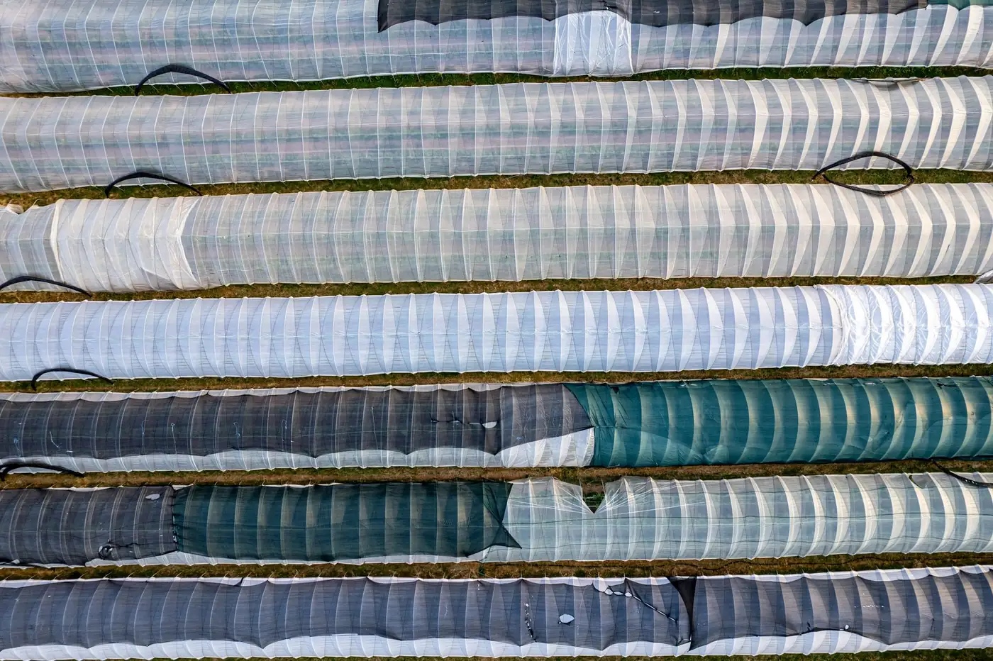
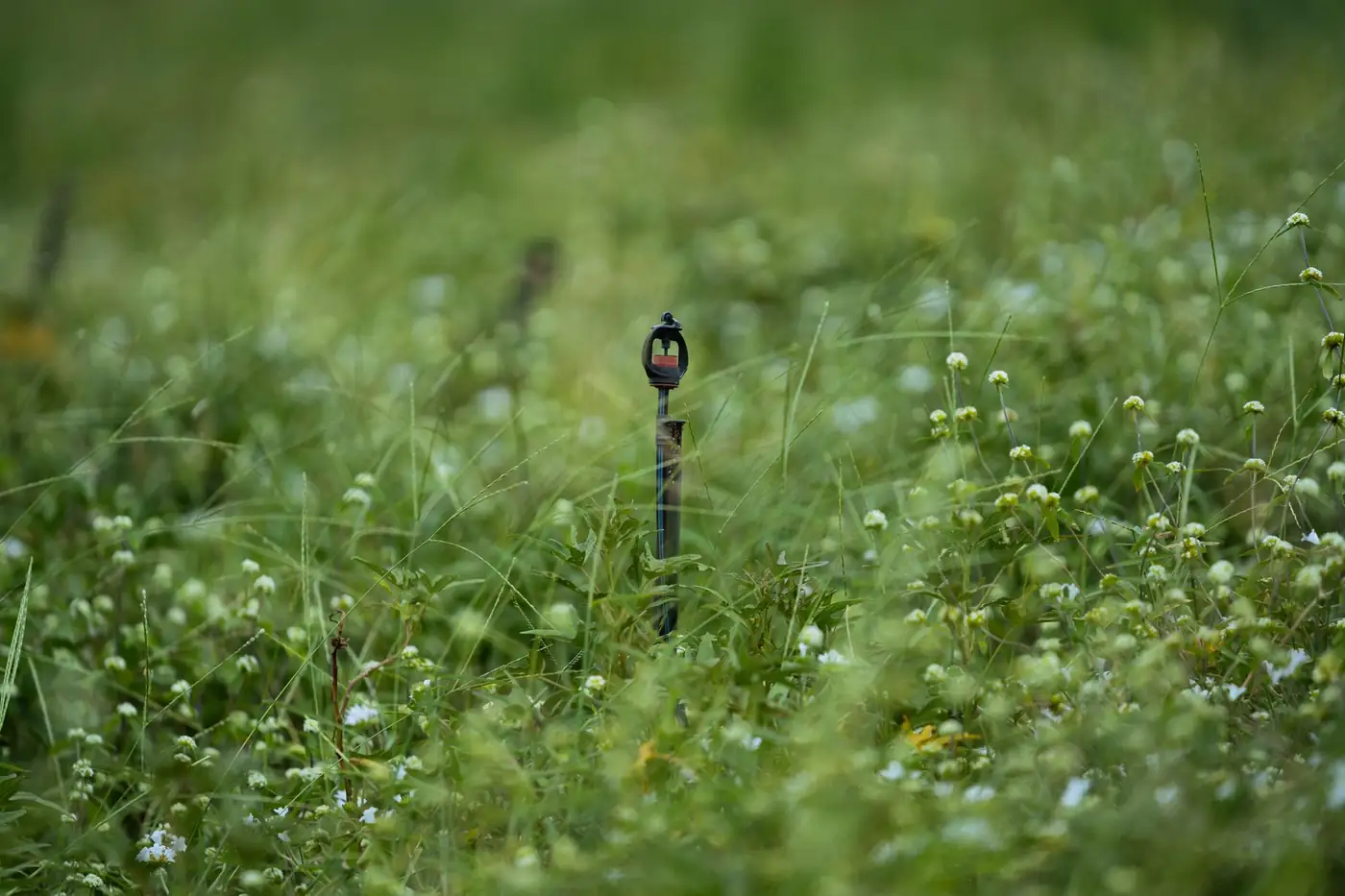
Fields, tunnels, pumps, solar arrays, sensors, vehicles, herds and stores. Not rows in a spreadsheet: objects with a state right now and a record of what they were before.
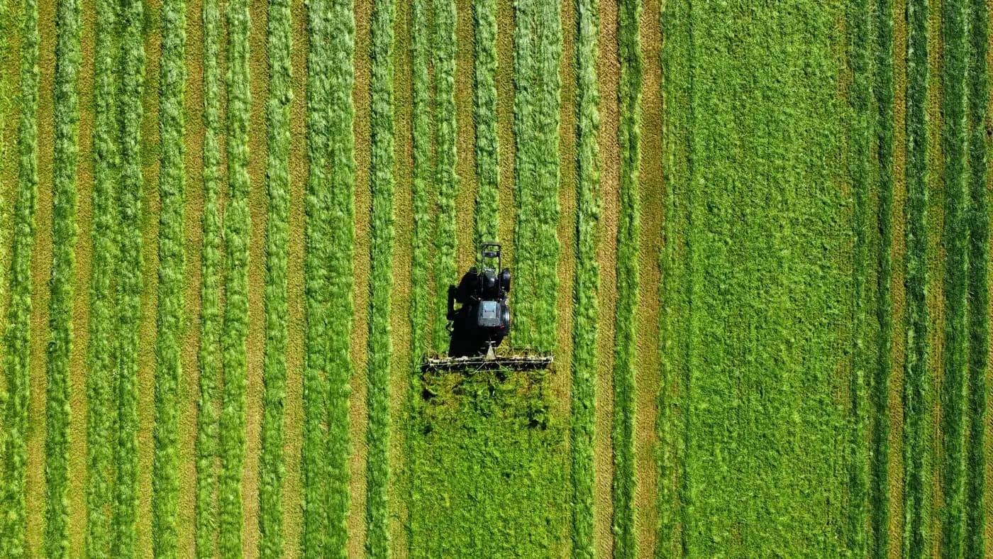
The objects connect
A field belongs to a farm, carries a crop, runs through a season, is watched by a sensor and watered by a pump. Agririgo's ontology holds those relationships, so the farm exists in one place instead of nine.
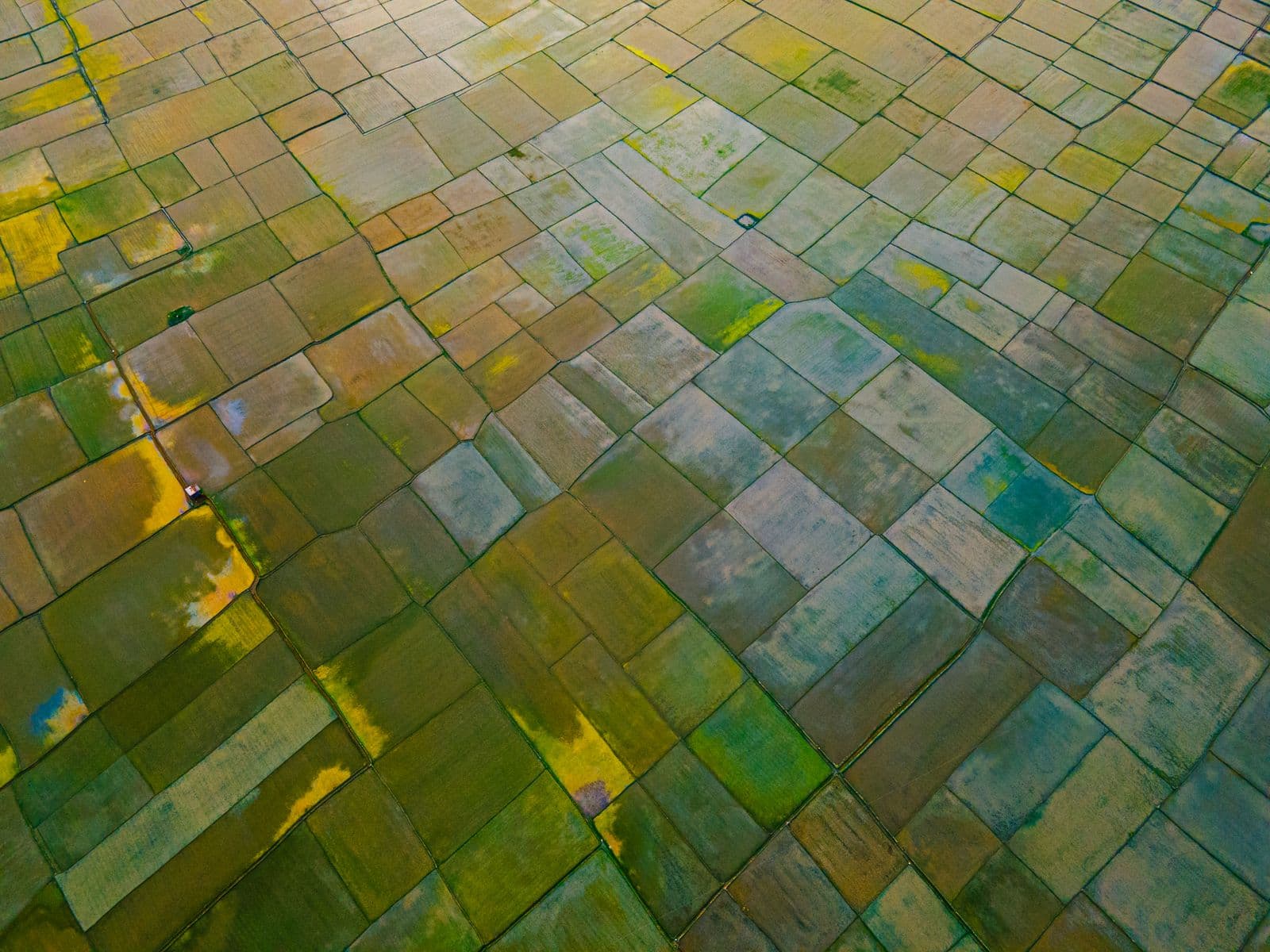
The twin remembers
Every observation, every intervention and what came of it, season after season. This is the part that compounds, and the reason an answer in year two is better than the same answer in year one.
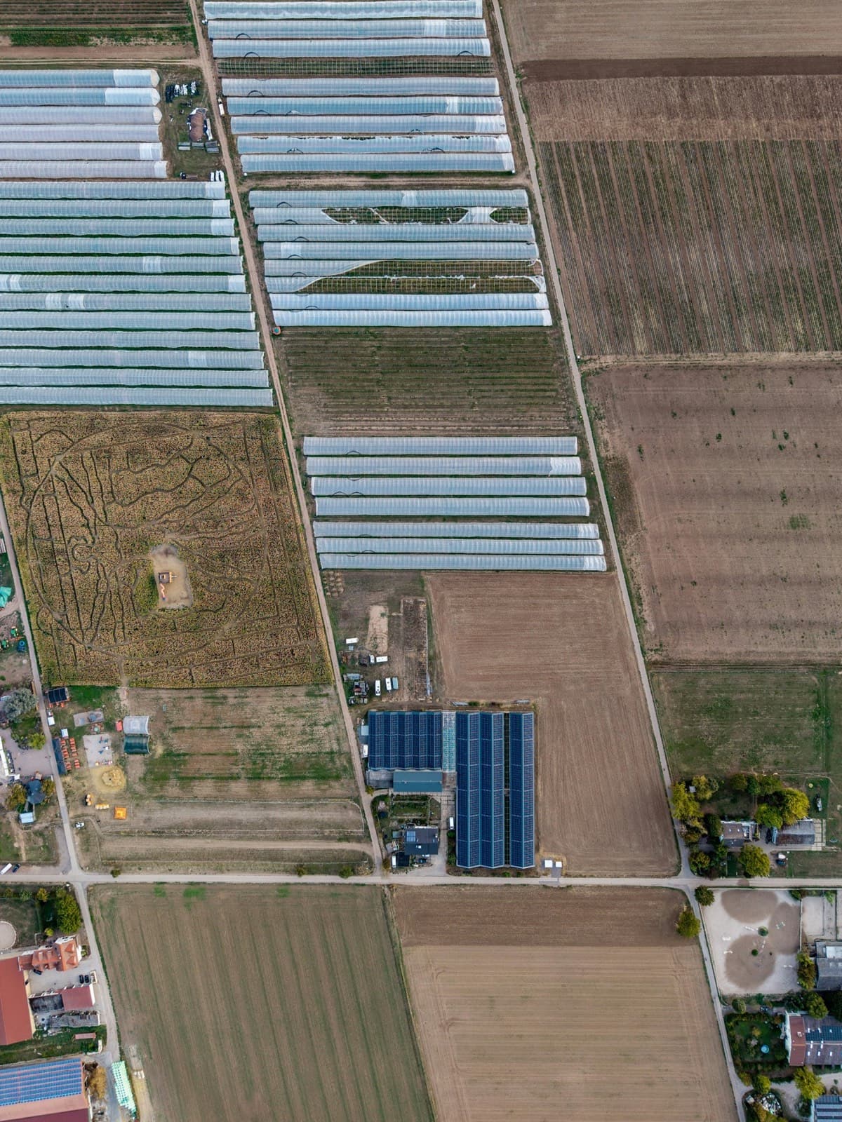
Rigo AI reads it and ranks the work
Not a label on a photograph. A ranked list of where to act, what to optimise, where the drone should fly and what is ready for the supply chain, each with the evidence behind it.
- Farm softwarekeeps records
- Drone toolsmake maps
- Generic AIanswers, then forgets
Agririgo connects them, and remembers every field.
One ontology, models fine-tuned on African conditions, and engineers who come to the farm and map the operation before anything is built.
Free to use · No credit card · Full access
Inside the twin
Everything on the farm, held as an object.
Tunnels, pivots, solar, herds and drones stop being separate systems. Each has a state today and a history behind it, and Rigo AI reads them together.
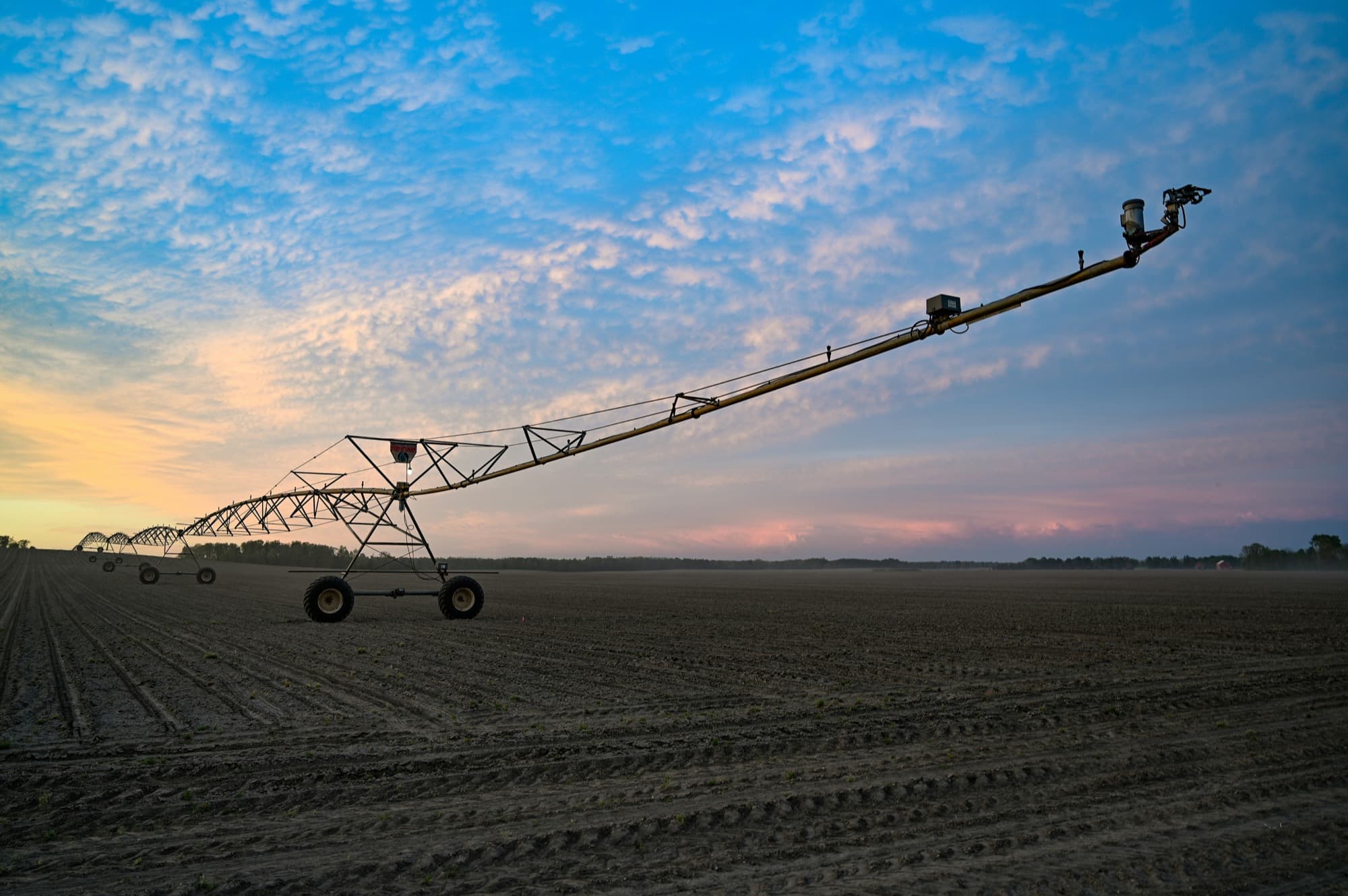
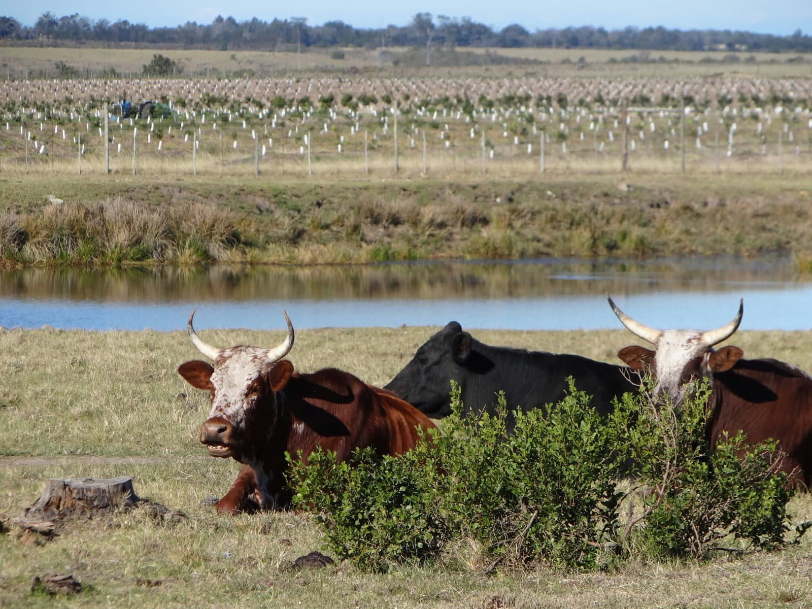
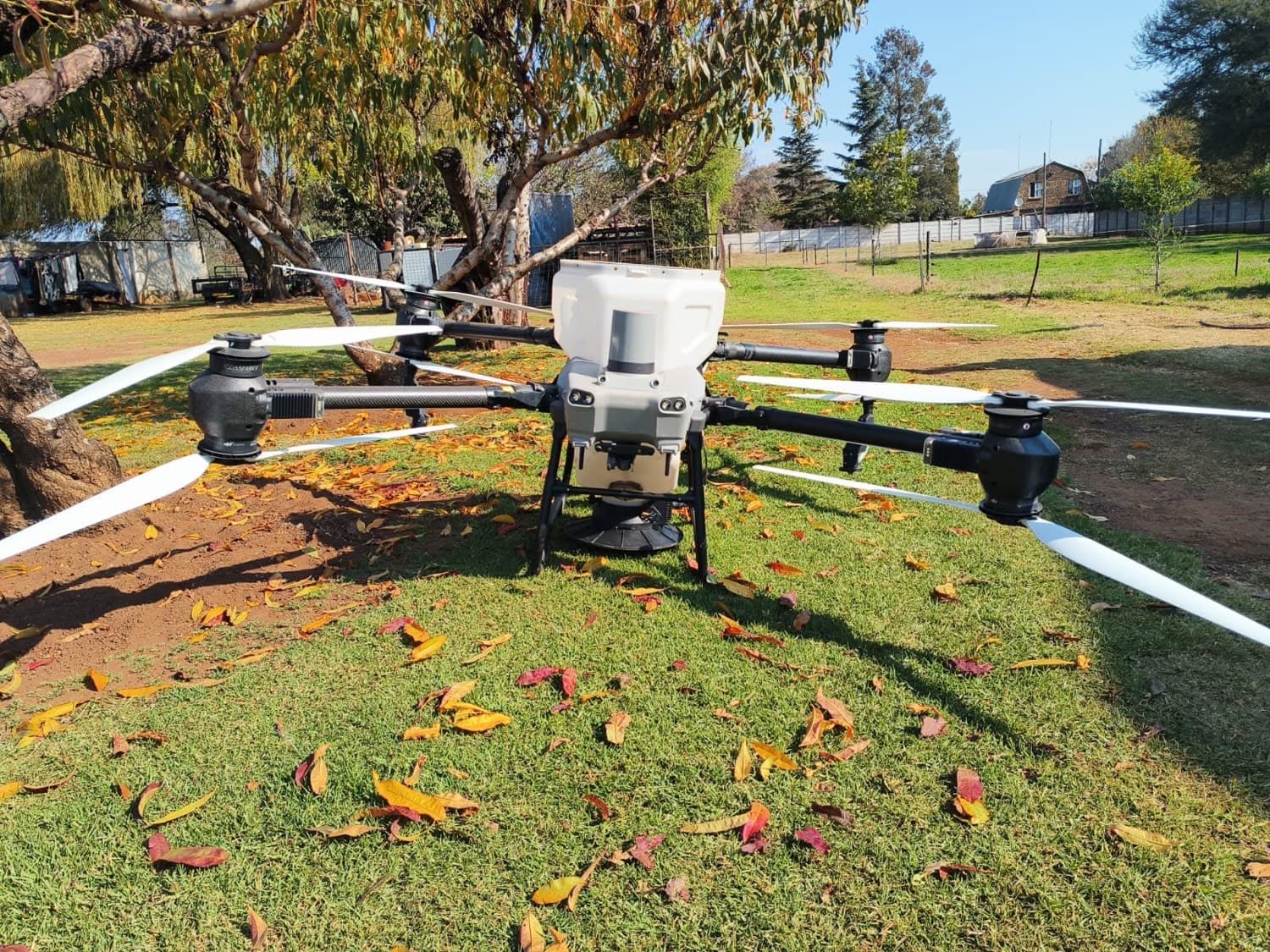
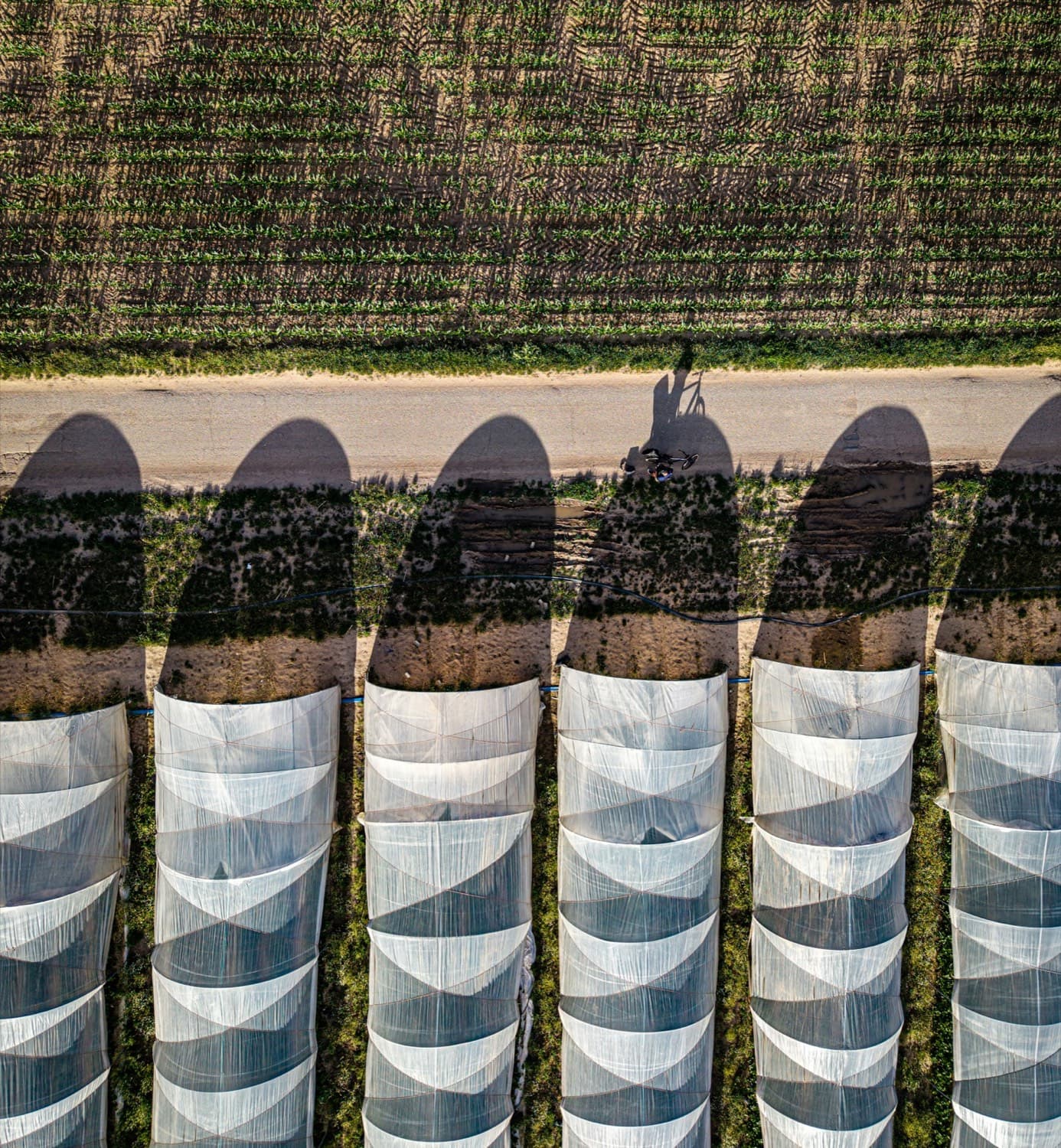
One twin. Every object connected, and remembered season after season.
Map your farm →Readings shown are illustrative
The problem
The data exists.
The decision comes too late.
Farms run on data that never talks to itself. Soil sensors, pumps, solar, drones, IoT, satellite, spreadsheets and WhatsApp, each in its own silo. Commercial farms hold the most data of anyone in agriculture, and still decide by walking the land.
In 2023/24 drought destroyed 982,765 hectares of Zambian maize and affected more than 9 million people across 84 of 117 districts. The data existed. The decision came too late.
Agririgo is built for the whole continent. Our open data runs deepest in Zambia, where the national statistics are strongest, and the platform itself is not country-specific: the models, the languages and the offline paths work wherever the field is.
Market access, not just transparency
Two regulations now decide whether your crop can be sold abroad.
Traceability stopped being a goodwill exercise. For a growing list of crops, an importer in the EU or the US cannot legally accept your consignment without records you are expected to produce on demand. RigoTrace is built to hold exactly those records, per lot, from the day you plant.
EU Deforestation Regulation
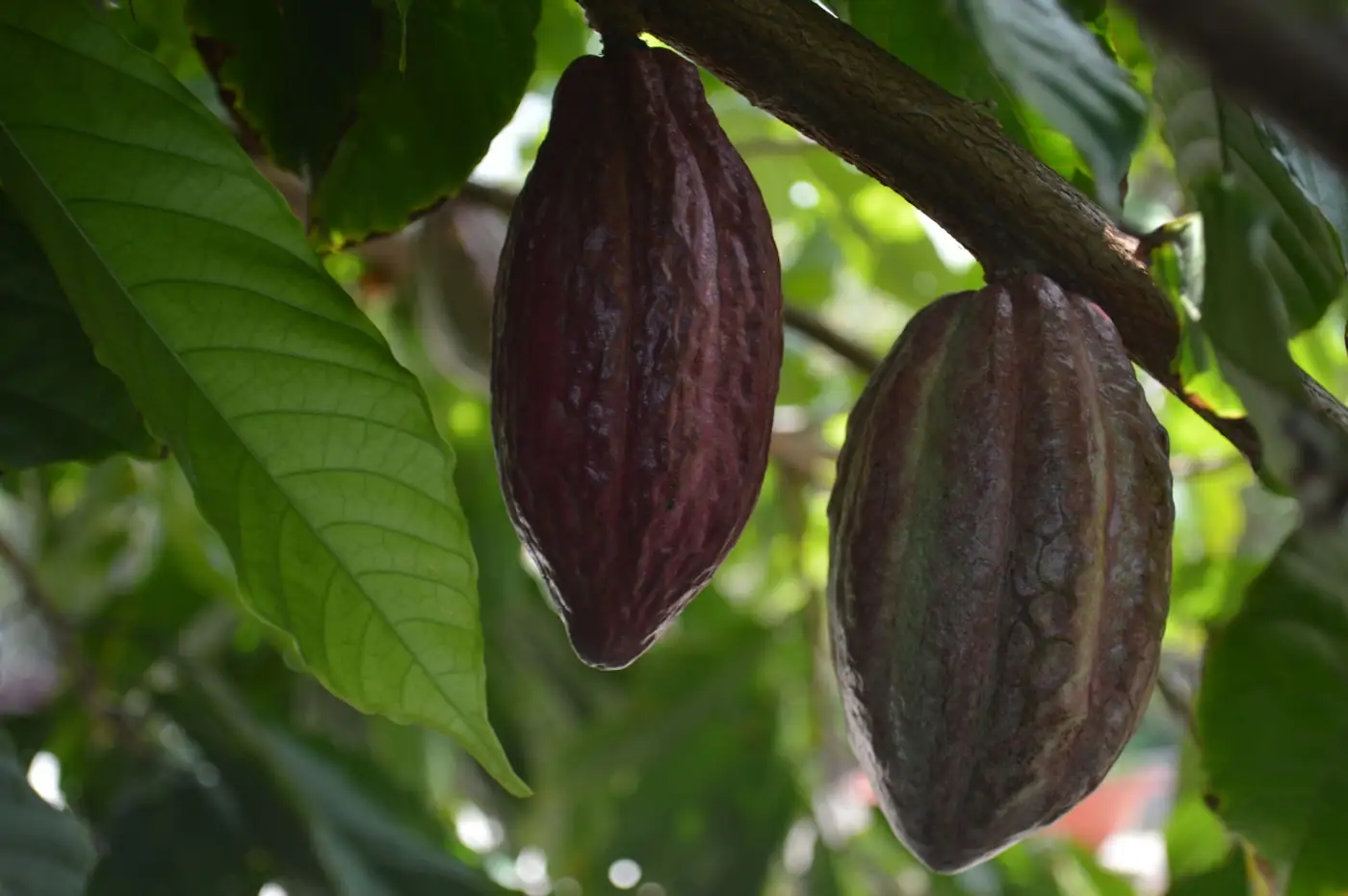
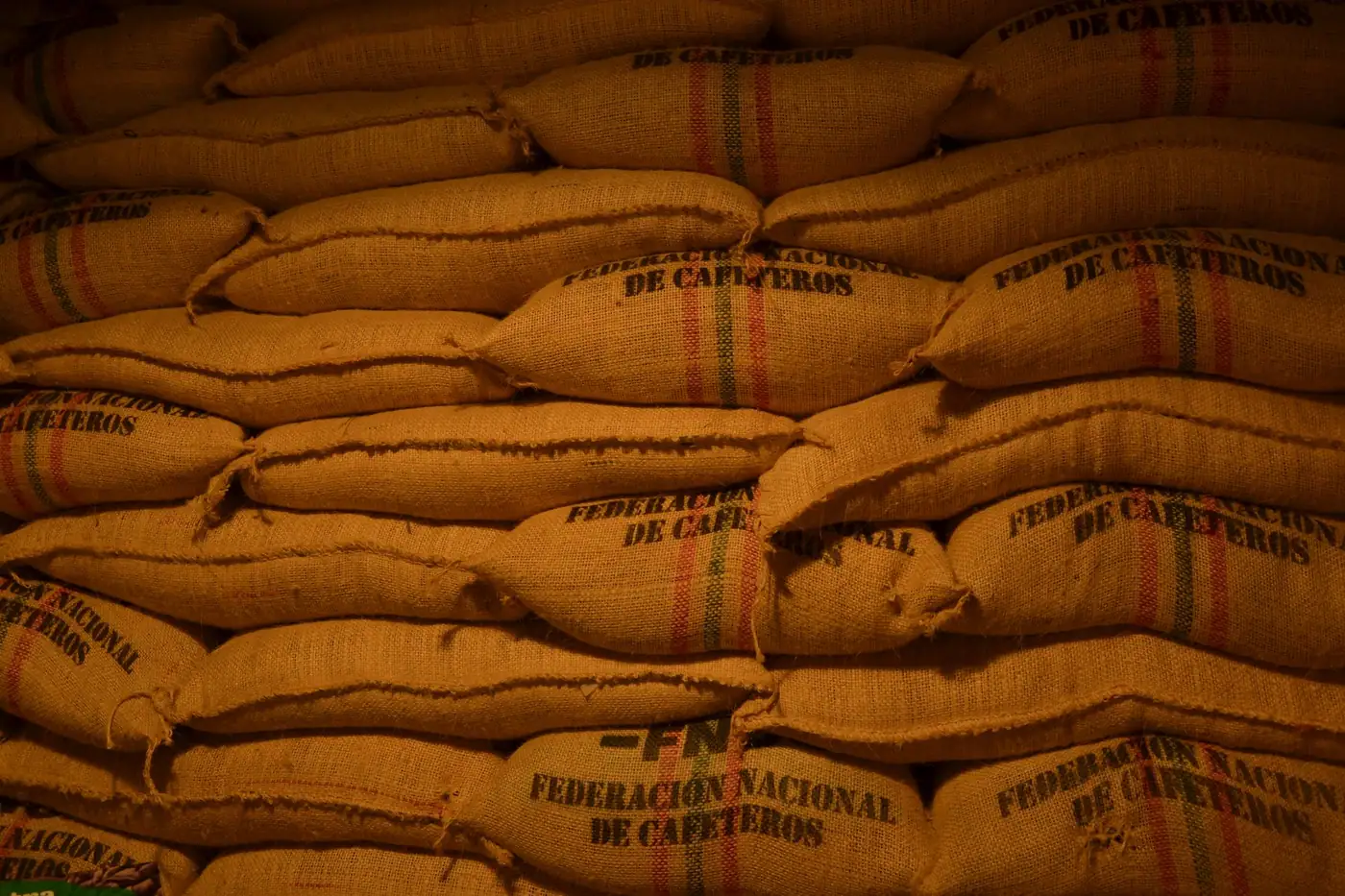
EUDR · Regulation (EU) 2023/1115Applies to coffee, cocoa, soy, palm oil, cattle, rubber and timber entering the EU. Operators must hold plot-level geolocation for the land the commodity was grown on, plus a due-diligence statement proving it was not linked to deforestation.
What RigoTrace holds: field and plot identification per lot, chain of custody through aggregation, and an exportable record for your due-diligence filing.
US FDA Food Traceability Rule
FSMA Section 204Applies to foods on the FDA Food Traceability List, including many fresh fruits and vegetables. Anyone in the chain must keep Key Data Elements at each Critical Tracking Event and produce them to the FDA within 24 hours of a request.
What RigoTrace holds: harvest, packing, and shipping events with lot codes and dates, exportable as a sortable spreadsheet.
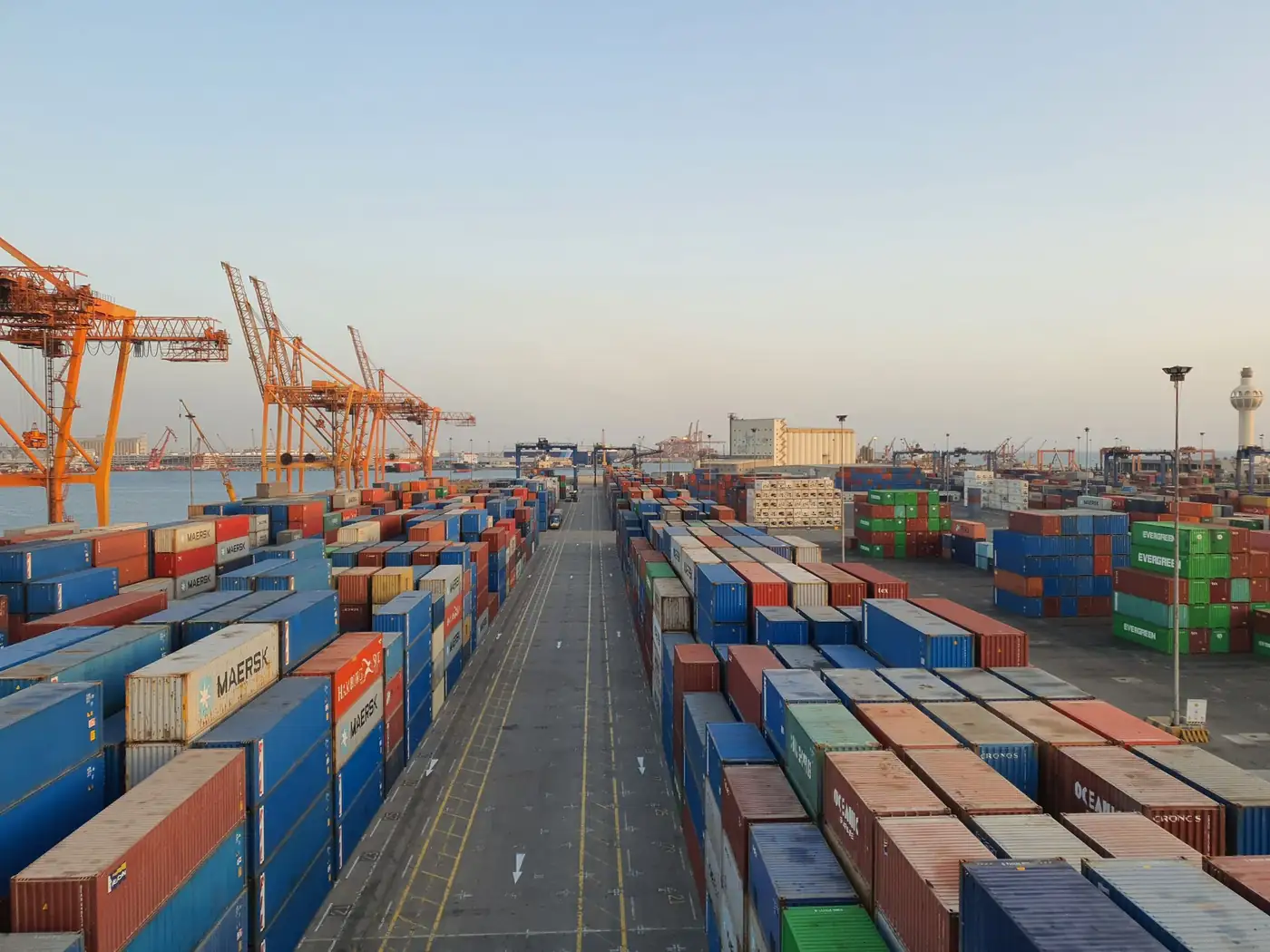
Compliance dates for both regimes have been amended more than once and differ by company size. Confirm the deadline that applies to you with your importer or the official register before you plan around it. Agririgo holds the records; it does not file on your behalf and is not a substitute for legal advice.
Proof, not a promise
Scan this with your phone, right now.
This is not a picture of a QR code. It is a live one, pointing at a real passport in our production system. You do not need an account, an app, or our permission to check it.
Agririgo · RigoTrace
Coffee · Arabica SL28
Agririgo Demonstration Farm
Season 2025/26 · Mumbwa, Zambia
ZM-COF-2526-DEMO
Scan this with your phone camera. It opens the real passport: origin and inputs, quality tests, and the full chain of custody.
Or open it here: agririgo.com/trace/ZM-COF-2526-DEMO ↗No signal? The same code resolves at verify.agririgo.com, a separate deployment that stays up independently of this site.
On African farms
Precision agriculture that fits how the work is actually done here.
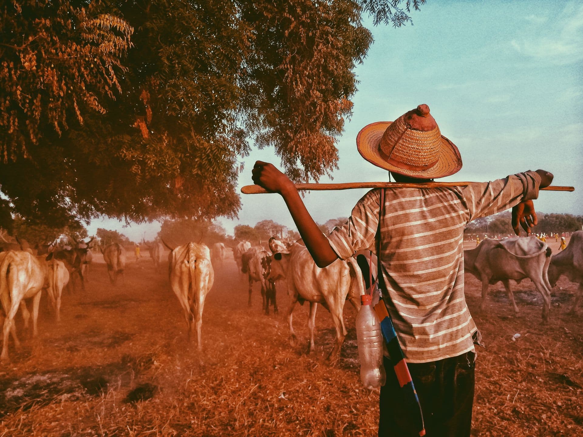
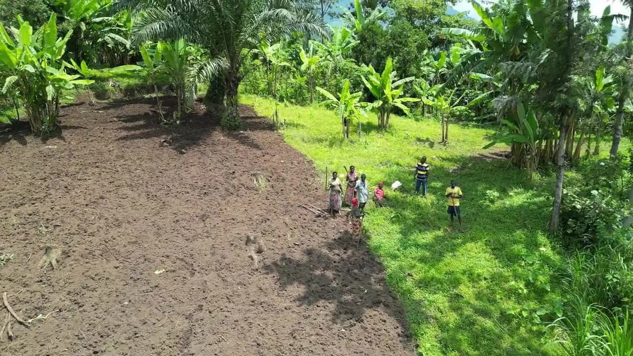
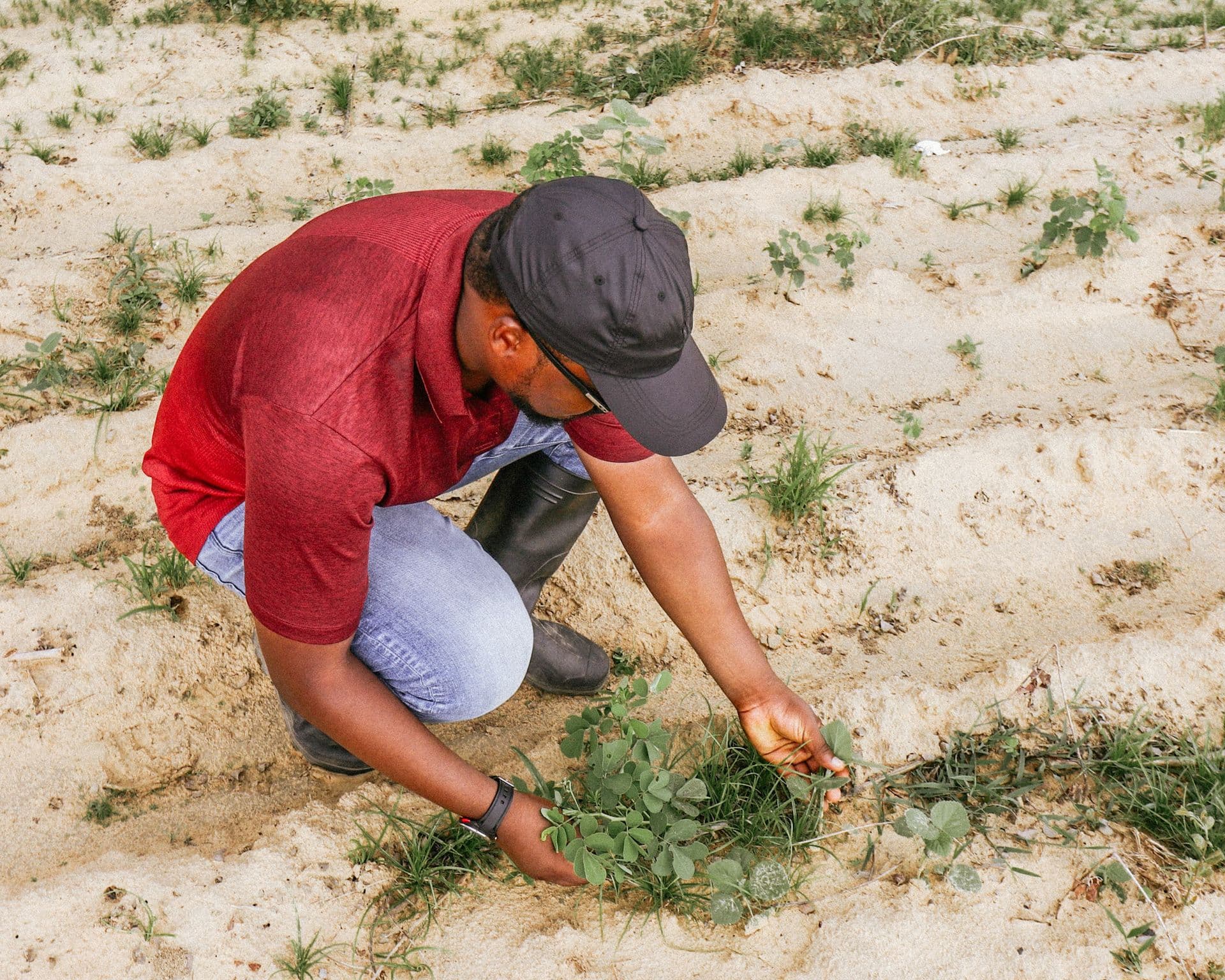
A drone where there is one, a phone where there is not, and a person walking the rows either way. Nothing here assumes a connected tractor or a permanent internet connection.
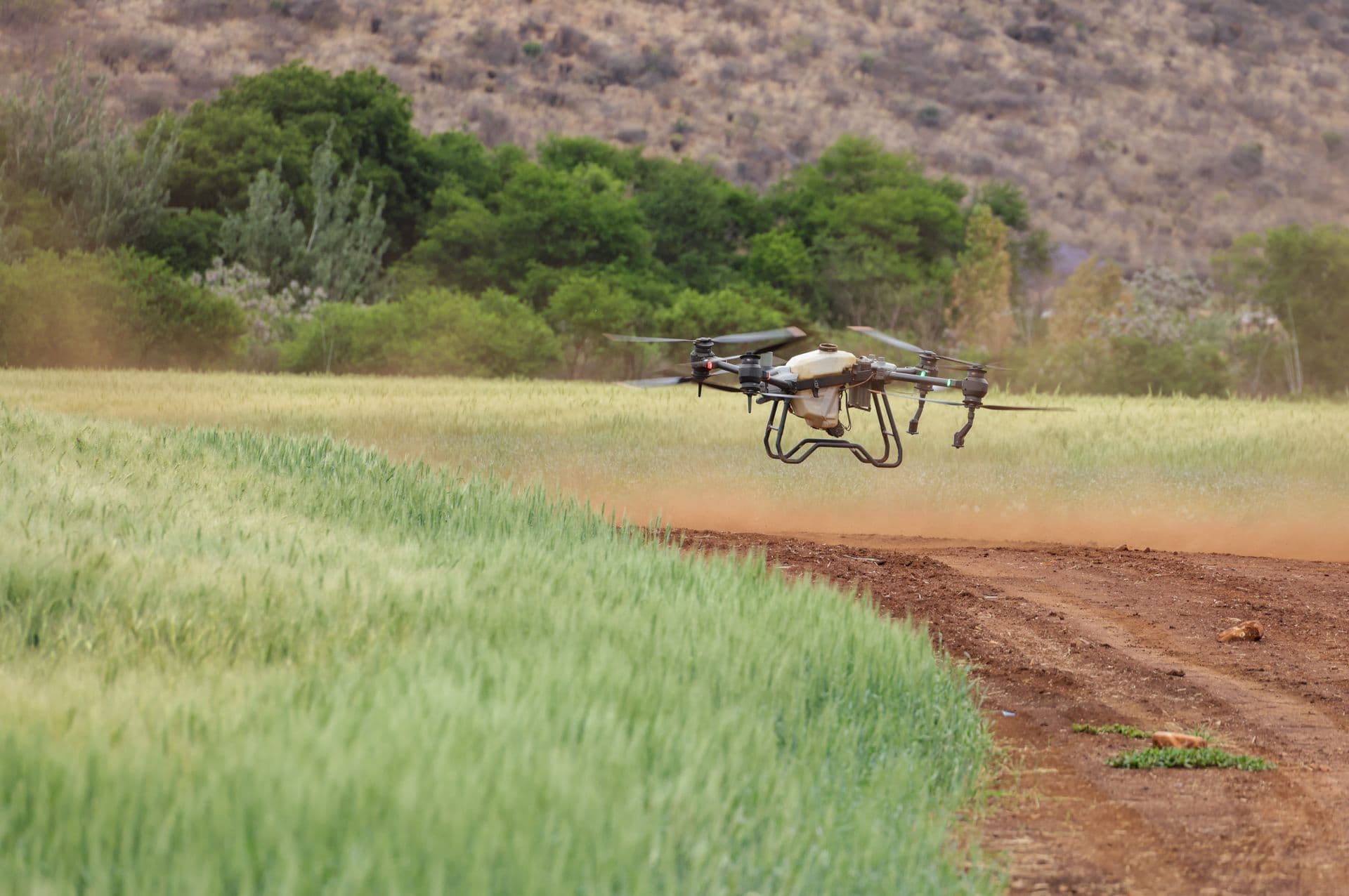

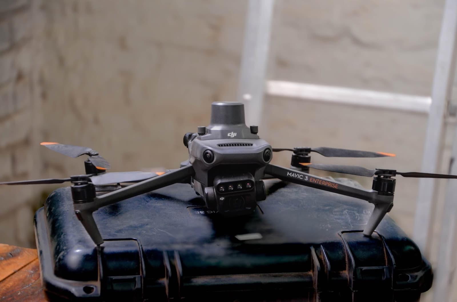
One battery covers what a morning on foot cannot.
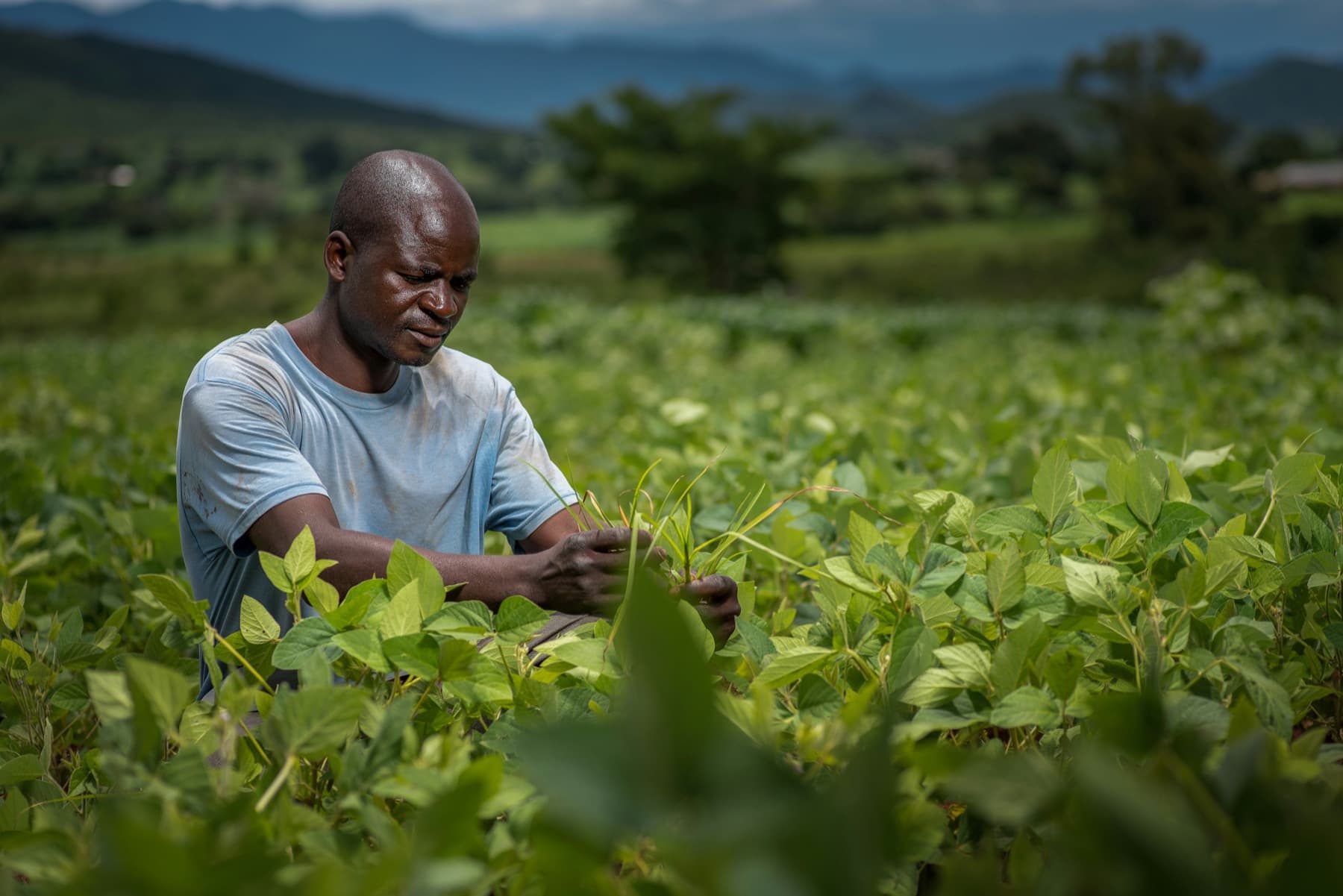
Agronomists
Scout more blocks in a day, and leave a dated record behind instead of a verbal report.
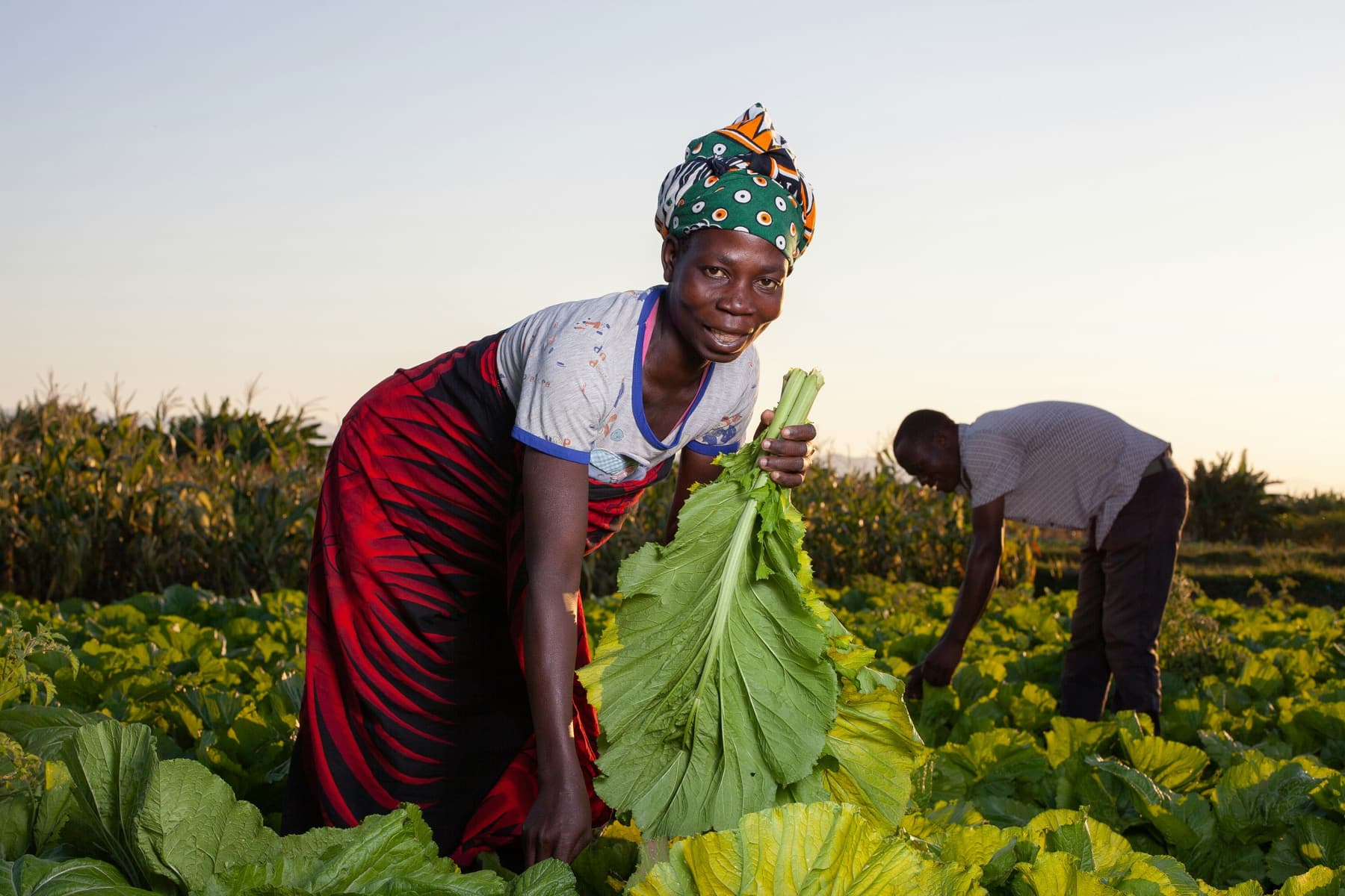
Growers and farm managers
One view of the whole operation, and a ranked list of what needs attention today.
There is a lot more inside Rigo Studio.
You don't need to be a farmer to explore it.
No credit card · Full access · Mac · Windows · Web