About Agririgo
The intelligence layer for African agriculture.


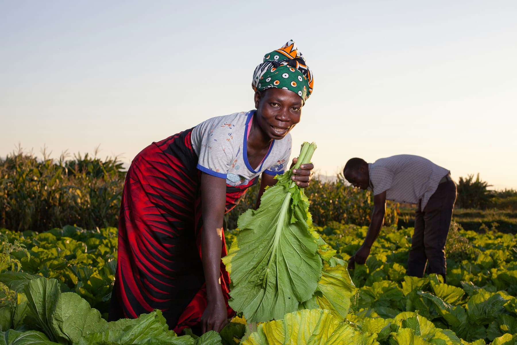
The problem we solve
The data exists. The decision comes too late.
Farms run on data that never talks to itself: soil sensors, pumps, solar, drones, satellite, spreadsheets and WhatsApp, each in its own silo. Commercial farms hold more data than anyone else in agriculture, and still decide by walking the land.
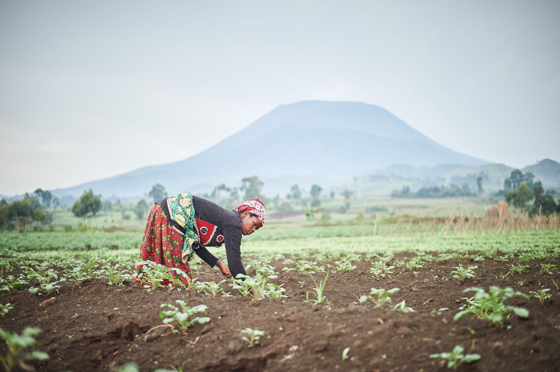
In the 2023/24 season drought destroyed 982,765 hectares of Zambian maize and affected more than 9 million people across 84 of 117 districts. The information existed. It was not connected in time to change a decision.
Agririgo connects every source a farm already has into one ontology, a living digital twin where each field, pump, tunnel and sensor is an object with state and history. Rigo AI reads it and ranks what to do next.


Ernest Kapesa
Founder & CTO
Why I started
I code, fly drones and farm. Agririgo is where those meet.
2017
HarvardX CS50 at 16. I start building software.
The field
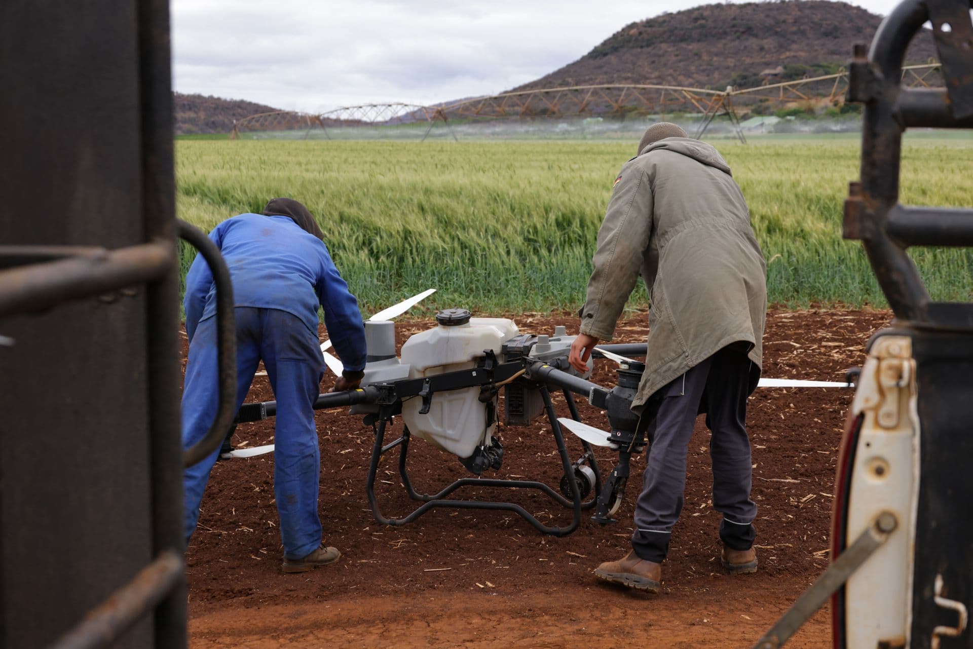
Mumbwa, the Copperbelt, the family farm. Drones in the air.
2024
Drought. The data existed; the decision came too late.
Agririgo is built by Ericolas Technologies in Lusaka. It grew out of more than five years of building, testing and rebuilding agricultural technology on real farms: an early farming app, field research with growers in Mumbwa and the Copperbelt, and a three-drone operations fleet. The drought turned that work into a conviction: African agriculture needs its own intelligence infrastructure, built here.
- HarvardX CS50
- AWS Certified Cloud Developer
- Nebius Certified Agentic AI Builder
- CAA Certified RPA Pilot
- Precision-agriculture farmer
“Agriculture will be AI-native, from the field to the supply chain. This is the moment to build it.”
The category we are building
The operating system for agricultural intelligence.
Farm software keeps records, drone tools make maps, generic AI answers and forgets. Agririgo connects them and remembers every field: one ontology holding the farm as objects with history, and fine-tuned models that turn it into ranked, explained actions. Traceability, insurance and credit can then be built on top rather than from scratch.
“Agriculture feeds the world. Better decisions feed the future.”
The Agririgo manifesto · from data to harvest
What we stand for
Values
Farmer-first impact
If it doesn't help someone grow more or lose less, it doesn't ship.
Honest data
Official, compiled and modelled figures are labelled apart. We never dress an estimate as a fact.
Open by default
National data belongs to the nation. The API is free and the sources are cited.
Built at home
Designed in Lusaka for African realities: bandwidth, languages, seasons and soils. Built on the continent, for the continent.
Where this goes
Roadmap
- Open API v1, 12 harmonized datasets
- Zambia Atlas with drought risk modelling
- Drought 2024 open record
- Live weather & World Bank relays
- Satellite vegetation (NDVI) layers per district
- District-level yield and rainfall series
- Rigo-AI soil analysis integration
- SMS / USSD advisories for feature phones
- Farm digital twins built from drone photogrammetry
- Collaborative workspaces where teams label, model and publish together
- Season-ahead yield forecasts for lenders and insurers
- Foundation models trained on African agricultural imagery
Standing on official shoulders
Data sources & licensing
Agririgo aggregates, harmonizes and redistributes public agricultural data with attribution. Everything we publish is CC-BY-4.0; every API response names its sources and its confidence level.

Let's build the data-smart farm together.
Partner with us, research with us, or build on the API today.