← Community Feed
Field analysis26 June 2026
One flight, forty hectares: mapping drought risk before planting decisions
Given Phiri · Drone pilot
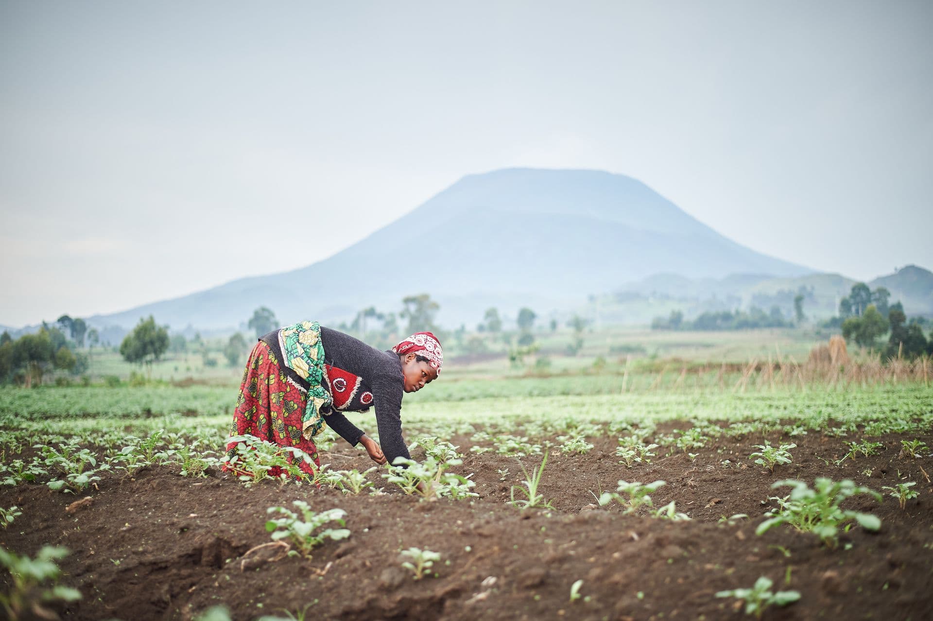
Client wanted a pre-planting risk map for a forty-hectare block outside Mumbwa. A single drone pass, stitched and processed through Rigo Studio's RGSI engine, gave a clear picture of which zones were still carrying moisture stress from the prior dry spell. Drone crop scouting is finally affordable enough for mid-size Zambian farms, not just commercial estates, once the analysis itself is free and runs on ordinary imagery.
4.5 average · 2 ratings
0 comments
No comments yet.